Geology Challenge
Stop #2: Giant’s Tomb Island – Awenda’s Stony Giant
What’s in a Name?
For such a unique geological feature, Giant’s Tomb Island was deserving of an equally special name which came from the God called Kitchikewana.
Wyandot legend tells of a great warrior, Kitchikewana, who, in a blind rage when the woman he loved left him, formed the 30,000 Islands by tossing huge rocks to the North after her. Exhausted and heartbroken he lay down in his final resting place to die.
If you look carefully his head is to the north; his arms are folded over his chest (highest point) and his legs are stretching to the south.
Challenge: The Tomb
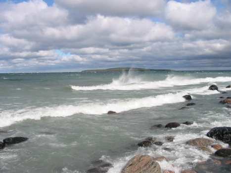
Cup your hands around your eyes like a pair of binoculars, or use a pair of binoculars, to focus a short distance east, or to the right, of “the Tomb”.
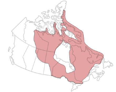
Follow Kitchikewana’s handiwork and go island hopping to discover the actual boundary of Southern Ontario and the Canadian Shield. The underlying rock of the larger landscape south of the bald islands is limestone. The area is appropriately referred to as the transition zone. Can you spot the boundary line?
Next Up: Head to Stop #3
- Continue walking westward down the beach, or to your left when facing the bay, until you see a giant boulder – the biggest one on the shoreline.
- Find the wooden post labelled Stop #3, and click on Next Up: Stop #3 below.


